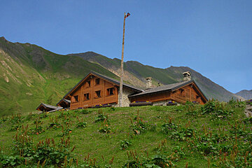
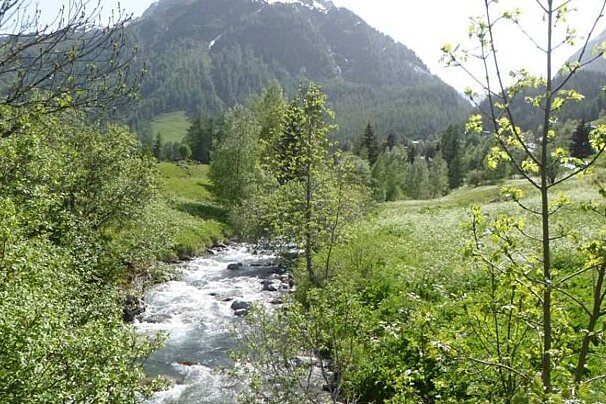
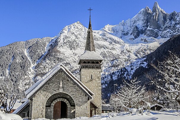
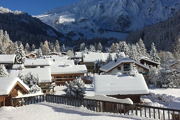
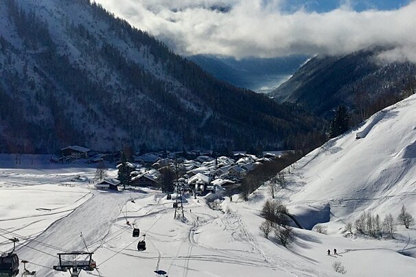
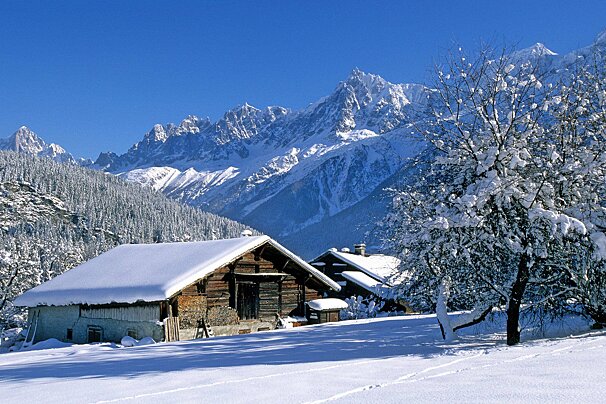
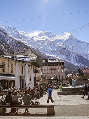
Situated in the Val Ferret valley in Italy at the mouth of the vallee de Malatra this refuge has stunning views on all sides and is relatively easy to access at all times of year.
The refuge can be reached from Courmayeur. Once in Entrèves take the Val Ferret, continuing to Lavachey. The refuge is located on the orographic left side of this valley, at 2025 meters. Its location, at the entrance of the Valley of Malatrà, is a good vantage point of the Mont Blanc massif.
In addition to being an ideal starting point for tours of varying difficulty and length, it’s a rest stop of the TMB (Tour Mont Blanc), the T.G.B. (Tour the Great St. Bernard) and Alta Via # 1.
Accommodation can be booked bed only, or including breakfast and/or dinner. Beds are provided with blankets and pillows but for hygiene reasons you must provide your own sheet or sleeping bag liner (they can also be rented at the refuge depending on availability).
Please contact the refuge directly for this season's prices and opening/closing dates.
Worth knowing
The easy accessibility of this refuge makes it very popular, be sure to reserve your places in advance of your trip.
Who should go
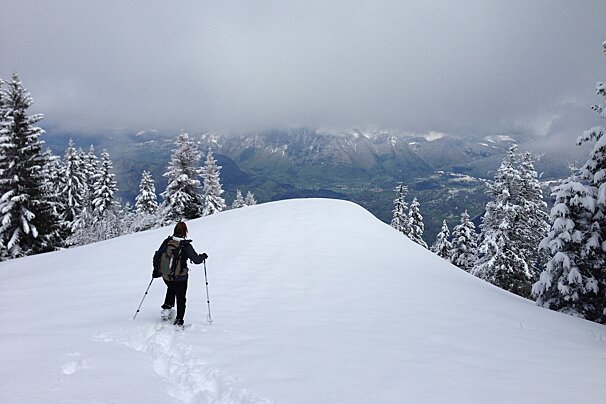
Perfect for a summer hike along the valley or in winter you can snow shoe or ski tour up to the refuge.
Things to do nearby
-
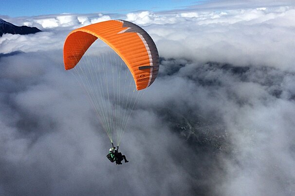
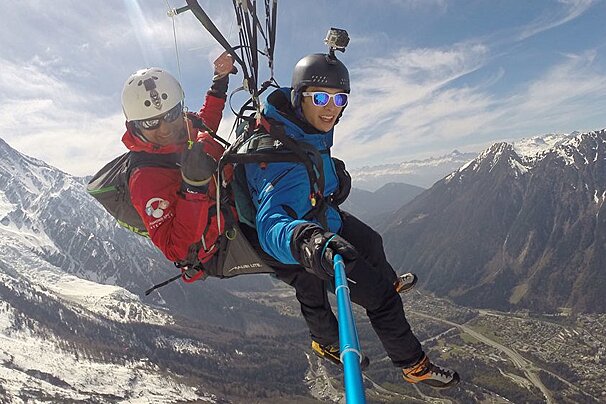
Enjoy the trip of a lifetime with these qualified tandem paragliding specialists - All year round
-
Half & full day guided snowshoeing in the Chamonix Valley
Snowshoe Day Hikes in Chamonix
-
Marriage proposals, wedding ceremonies in nature, events, family portraits & outings in the spectacular surroundings of Chamonix
Teresa Kaufman Chamonix Photoshoots
-
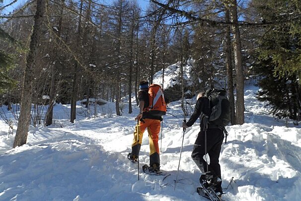
Half day and full day snowshoe walks in Vallorcine
-
Half day or full day private guided snowshoeing walks
-
15 to 30 min paragliding flight suitable for adults & children
Introductory Tandem Paraglide
Restaurants nearby
-
Mountain restaurant with delicious local cuisine on the summit of the Aiguille du Midi at 3,842m
-
Mountain café at the Aiguille du Midi
-
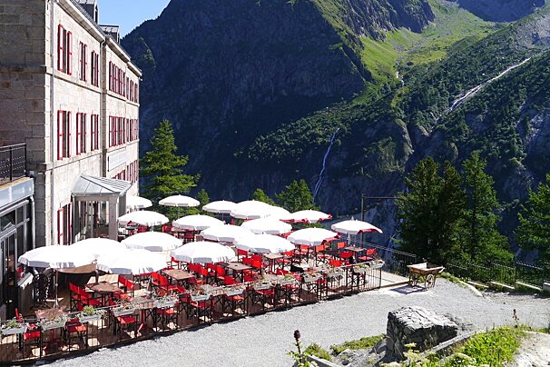
Restaurant at the Refuge du Montenvers at the top station of the Montenvers trainline
Refuge du Montenvers Restaurant
-
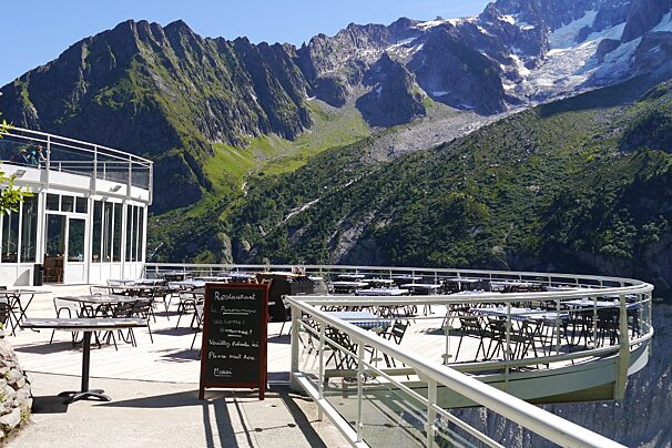
A mountain bistro with 'panoramic' views over the Mer de Glace and Les Drus
Le Panoramique Restaurant
-
Cute little snack shack found on the Vallée Blanche return, serving food and drinks
Buvette des Mottets Restaurant
-
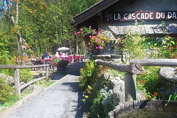
Small chalet serving fresh homemade food set in a spectacular location
La Cascade du Dard Restaurant
Sights nearby
-
Just over the border to Switzerland you can journey up to the Emosson Dam
VerticAlp funiculars and train
-
Summer lifts giving you access to the Swiss border, hiking and MTB trails
-
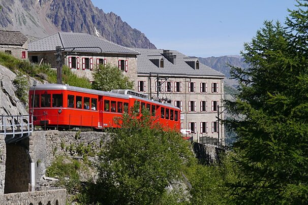
Everything you need to know about a visit to this iconic glacier and railway
Mer de Glace and Montenvers cog railway
-
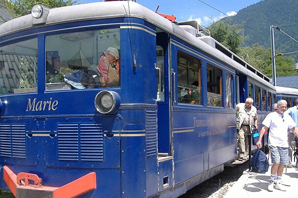
A classic tramway from St Gervais Le Fayet up to the Nid d'Aigle
-
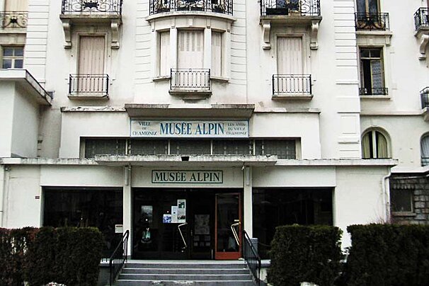
Musée Alpin de Chamonix currently closed for renovations, planned reopening: end of 2025
-
Walk amongst this protected natural area and enjoy beautiful scenery in the summer
Aiguille Rouge Nature Reserve
Golf-clubs nearby
-
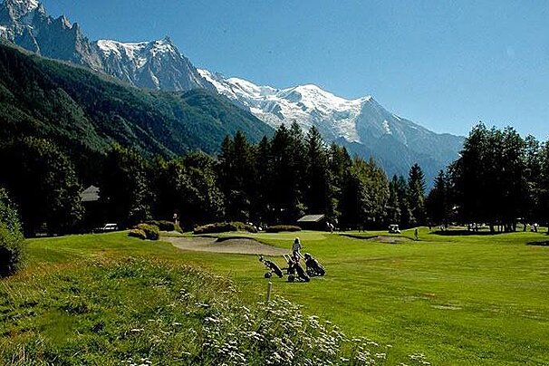
Beautiful golf course in fantastic surroundings in Chamonix
Chamonix Mont Blanc Golf Course
Lifts/Pistes nearby
-
Family fun and beginner slopes in the heart of Chamonix town
Planards beginner ski area and lifts
-
Main Town Ticket office / Departure point for the Mer de Glace
Montenvers Ski Pass Office
-
Highest cable car in Europe offering spectacular views
Aiguille du Midi Ski Pass Office
-
Cross country ski trails setting off from the centre of Chamonix
Chamonix Foyer de Ski de Fond (cross-country skiing)
-
Only a five-minute walk from the centre of Chamonix town
-
Skiing area on the south-facing slopes above the village of Les Praz
Towns nearby
-
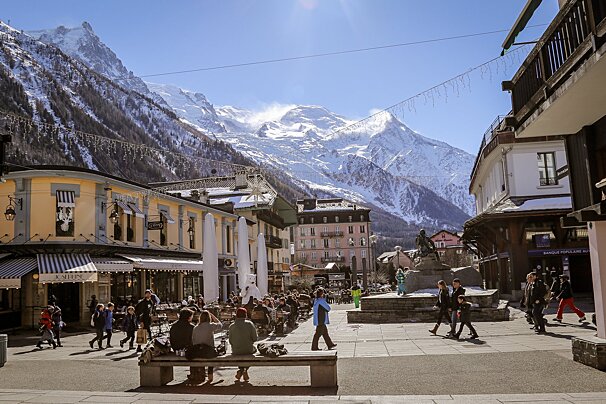
The bustling, main resort town in the Chamonix Valley nestled at the foot of Mont Blanc
-
A beautiful village with access to the ski lifts and a challenging golf course
-
A growing village situated under its own glacier with a train station and post office
-
A traditional village located at the foot of the famous Grands Montets ski area
-
A typical Savoyard village nestled at the far end of the Chamonix Valley
-
A large town at the bottom end of the Chamonix Valley about 6km from Chamonix
Check-in Arrangements
Check in at the reception when you arrive and you will be shown to your dorm room, told which beds are yours and issued with shower tokens.
Check-out Arrangements
You pay when you leave the refuge, they only take cash however, so be warned and make sure you have enough with you!
Directions
In the winter time you leave your car at Entréves (take a shuttle) or Planpincieux. Walk along the trail and reach the location Lavachey. Before the wooden bridge, the trail 28 that goes through the woods. At the junction for Sécheron / Val Arminaz, you turn left on the path and climb until you reach the open area in sight of the refuge.
