© Alison Shayler

© Alison Shayler
© Graham Pinkerton

© SeeChamonix.com / Alison Shayler


La Flégère, Chamonix - Le Praz
Cable car and chairlift giving access to lots of great hiking trails and Via Ferrata
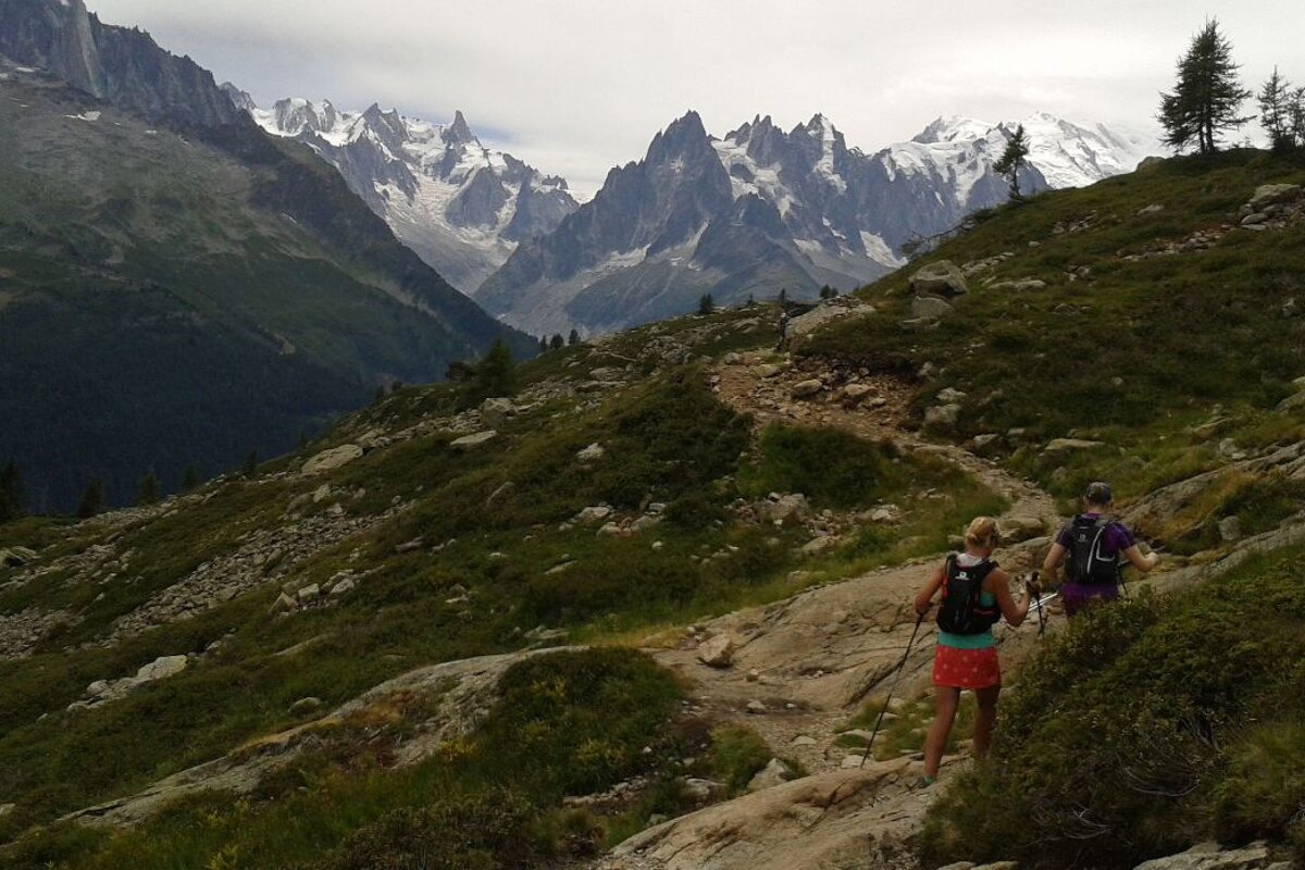
In summer the cable car at Flégère and the Index chairlift operate, taking you up to an altitude of 1,894m and then on to 2,396m at the top of the Index.
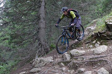
Mountain bikers can use the cable car but sadly are no longer allowed on the chairlift.
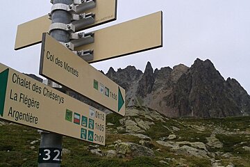
Hikers can head to the Lac Blanc from here, which is well worth the trek and you're bound to come back home with some cracking photos.
Lower down the mountain you can walk down to Chalet Floria and grab some refreshments. You'll know if they're open as they fly a flag to let you know.
Who should go
| Access | Yes/No | Notes |
|---|---|---|
| Elderly access | ✓ | |
| Babies | ✓ | From 12 months. Index from 24 months |
| Wheelchair access | ✓ | All cable cars and gondolas, not possible on Index chairlift |
| Disabled toilets | ✓ | At Flégère |
| Dogs | ✓ | Prohibited in the nature reserve |
| Parapentes | ✓ | |
| Mountain bikes | ✓ | Summer only, not on Index chairlift |
| Car parking | ✓ | Free |
| Lockers | x | |
| Reservations required | x | |
| Sports and activities | ✓ | Skiing, parapenting, hiking, climbing, Via Ferrata, mountain biking, trail running |
Events in Chamonix
During the summer you might find hundreds of trail runners passing through the area as part of the UTMB week, which sees races of varying lengths and difficulty set off around the trails of the Chamonix Valley.
Things to do in Chamonix
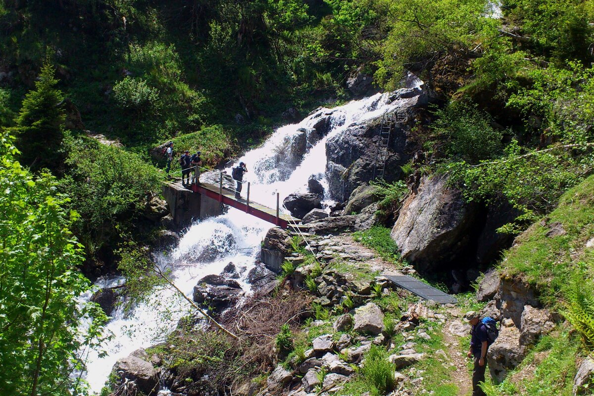
Once summer arrives there are several walking and mountain biking trails that start in Les Praz.
Les Praz also has its very own renowned 18-hole golf course which includes a club house, driving range and Pro shop on site.
Directions
You can reach the Flégère gondola easily on the public transport (Les Praz stop) or by car.
There is free parking in the summer and unlike winter you don't have to struggle to find a space.
How to get passes
You can buy tickets directly from the lift station or buy a Mont Blanc Multi-pass in advance on line.
More inspiration...
Find your way around with our maps, read about hiking and walking or mountain biking.