© M. Bell
© M. Bell
© M. Bell
© M. Bell
© M. Bell
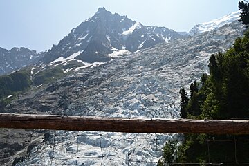
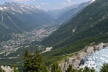
Les Bossons glacier
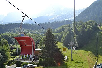
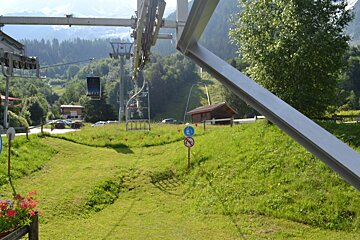
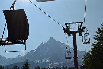
A small chairlift open in summer giving you incredible views over Les Bossons glacier
This small two person chairlift is only open for a short time in summer, but it's great if you want to take a close up look at the bottom of the Glacier des Bossons.
The lift takes you to an altitude of 1,425m and conveniently to Chalet buvette du Glacier where you can stop for refreshments and get some great views of the bottom of the glacier. At around 7km long this is one of the longest glaciers in Europe and because it travels so far down the mountain, you can see it from pretty much everywhere in town.
From the chalet at the top of the chairlift, you can take the un-guarded hiking trail up to 'Les Pyramides' and at the very top, 'the Junction' where you will be surrounded by glaciers.
Be warned!
It's a tough slog up and back down again, and can take the better part of a day to complete.
Things to do in Chamonix
Back on the valley floor, Les Bossons has direct access to some great walking tracks including the Petit Balcon Sud which runs from Servoz to Argentière. From the Petit Balcon you can connect to walks around the Merlet Animal Park, Brévent and Flégère.
The village activities aren’t just limited to walking. Les Bossons boasts its own Olympic Ski jump where a number of competitions take place throughout the winter including the French Championship.
During the summer, it is also the end of the 7km grade two rafting route which takes you right through the centre of Chamonix.
Directions
The village of Les Bossons is well connected to the rest of the valley and the ski areas, making it an attractive destination for tourists all year round.
How to get passes
Tickets are available to buy from the ticket office at the bottom of the lift, or they are included in the Mont Blanc multi-pass which you can buy in advance online.
More inspiration...
Find your way around with our maps, read about hiking and walking or mountain biking.


